Research project
What happens to a river, and its people, when its sand is taken?
Sand is the second most used natural resource after water, and much of what it costs is hidden: beneath the river surface, along eroding banks, and in the lives of the communities who live beside it. HIDDEN SAND brings together physical surveys, simulation, community knowledge and socio-economic data, and uses digital tools to educate people and inform policy, starting on the Mekong in Cambodia.


Below the surface
Sand is a budget
A stretch of river holds its shape only while the sand leaving it, downstream and in dredgers' holds, is replaced from upstream.
The effect is not where you dig
Pits trap the sand passing through. The water leaving them picks up more from the bed, so the lowering spreads across the channel and downstream.
The banks pay later
As the bed drops, banks stand taller and become less stable. Dredging mid-channel can look safe for years, then stop being safe.
Beside the river
Livelihoods and communities
Extraction changes who earns, who loses land and how riverside life works. We record household economies, changing livelihoods and the costs communities bear, alongside the physical measurements.
Sand stories and journeys
People share their own accounts of the river, and we follow sand from the bed to the building and reclamation sites it ends up in, so benefits and costs can be seen along the whole chain.
Digital tools for policy
Surveys, models, monitoring and community testimony become simulations, maps and an online exhibition that help people understand the problem and help decision-makers act on it.
We look at sand through five lenses: materialsocio-economicculturalenvironmentalglobal


Explore the data
Maps and 3D views built from satellite detections, multibeam surveys and community observations.
 Digital twin
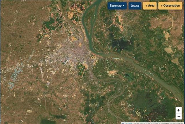
Sand budget tool
One map for budgeting and managing sand on the lower Mekong: inland sand infill from Landsat, Sentinel-1 vessel detections, extraction risk by river reach, population and asset exposure, and community observations you can add from your phone.
Open the tool ↗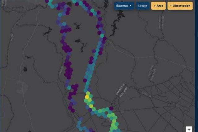 Monitoring
River vessel monitoring
Sentinel-1 detections of the vessels working on the river, by hexagon, by day or by river reach, with a comparison of any two areas. Opens the sand budget tool on its Vessels tab.
Open the vessel viewer ↗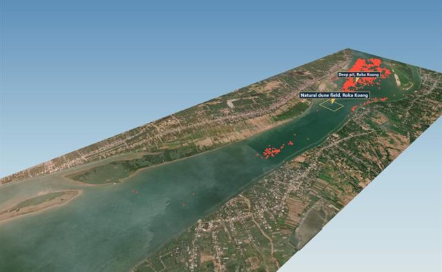 3D visualisation
Dive into a sand-mining pit
Fly over the Roka Koang reach, then dive through murky water to the real multibeam bed. Stand in an 11.8 m deep pit beside a truck and a building to see how big the hole is.
Open the 3D viewer ↗Try the simulations
Conceptual models, not calibrated to real Mekong transport rates: use them to build intuition.
 Simulation
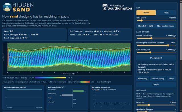
Dredging impacts simulator
Paint a dredge area on a 10 km river reach and watch pits spread, the bed lower and the banks approach failure, in plan and in 3D.
Open the simulator ↗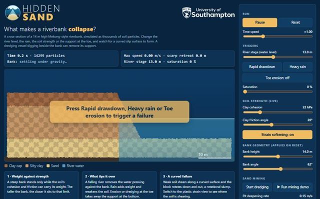 Simulation
Bank erosion simulator
A particle simulation of a riverbank failing by rotational slump after drawdown, heavy rain and erosion at the toe.
Open the simulator ↗